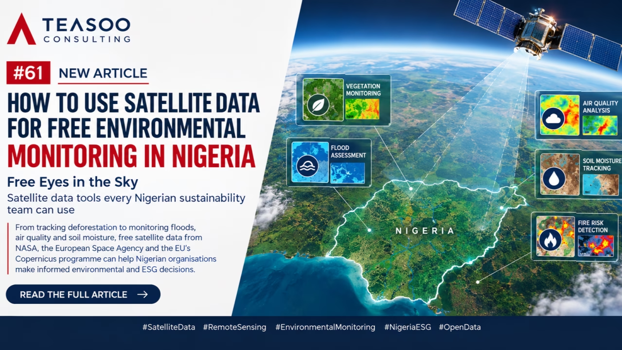
Free Eyes in the Sky
Satellite data tools every Nigerian sustainability team can use
This week, we are taking a different approach. Instead of our usual ESG analysis, this article is a practical walkthrough showing Nigerian sustainability teams how to use free satellite data to monitor the environment.
Environmental monitoring is often assumed to require expensive drones, specialised equipment and commercial imagery. While these tools remain valuable, NASA, the European Space Agency and the European Union’s Copernicus programme provide free Earth-observation data. With a laptop, internet access and a clear question, teams can monitor changes around facilities, farms, forests, communities and supply chains.
1. Monitor vegetation loss with Sentinel-2
The Copernicus Browser provides access to the Sentinel missions. Sentinel-2 offers multispectral imagery with a resolution of up to 10 metres, making it useful for monitoring forests, plantations, wetlands and agricultural land.
Teams can compare images from different dates to identify vegetation loss, land clearing or reforestation progress. The Normalised Difference Vegetation Index—NDVI—can reveal changes in vegetation health.
To begin:
- Visit https://dataspace.copernicus.eu/browser/ and create a free account.
- Locate the project area by name or coordinates.
- Select Sentinel-2 L2A and choose two dates.
- Apply a low-cloud-cover filter.
- View the area using True Colour, False Colour or NDVI.
- Compare and download the results.
Always compare similar seasons. Wet- and dry-season differences can easily be mistaken for permanent vegetation loss.
2. Map flood extent with Sentinel-1
Cloud cover often limits optical imagery during heavy rainfall. Sentinel-1 uses radar and can collect information during the day, at night and through clouds, making it valuable for flood assessment.
Select an image from before the flood and another from during or shortly after the event. Comparing them can reveal newly inundated areas and indicate whether farms, communities or facilities may have been affected.
Radar images are less intuitive than normal photographs. Permanent water, wet soil and some built surfaces may be misclassified, so findings should be checked against field observations, photographs and community reports.
3. Observe air-quality patterns with Sentinel-5P
Sentinel-5P provides atmospheric data on pollutants including nitrogen dioxide, sulphur dioxide and carbon monoxide.
Through the Copernicus Browser, teams can examine pollution patterns around cities, industrial areas and operational sites and determine where further investigation may be required.
Satellite observations represent atmospheric columns, not the ground-level concentrations measured by air-quality stations. They support screening and trend analysis but should not replace calibrated instruments for regulatory or public-health decisions.
4. Assess soil moisture with NASA Worldview
NASA’s Soil Moisture Active Passive mission, known as SMAP, provides information on moisture at and below the Earth’s surface. Its layers can be viewed through NASA Worldview at https://worldview.earthdata.nasa.gov/.
Locate the area, select Add Layers, search for “soil moisture,” choose a date and use Start Comparison to examine change over time.
This information can support drought screening, agricultural planning and landscape-level assessment. Because many soil-moisture products have coarse resolution, they are better suited to regional analysis than individual farm-plot decisions.
For fire risk, NASA FIRMS at https://firms.modaps.eosdis.nasa.gov/ provides near-real-time detections of active fires and thermal anomalies.
Turning free data into credible evidence
Satellite data should be managed systematically:
- Define the environmental question.
- Record the project boundary or coordinates.
- Establish a dated baseline.
- Compare the same dataset across similar seasons.
- Save the imagery, settings, dates and observations.
- Verify significant findings on the ground.
- Document decisions and corrective actions.
Free data does not mean informal data. Evidence used for ESG disclosures, regulatory submissions or investment decisions requires a clear methodology, quality-control process and audit trail.
The Teasoo Consulting Perspective
Open satellite data is making environmental monitoring more accessible to Nigerian organisations. They no longer need to wait for an incident or annual audit before examining changes around their operations.
Satellite data does not replace professional judgement, field verification or engagement with affected communities. Its greatest value is helping organisations detect change earlier, use limited resources effectively and target field monitoring.
How Teasoo Consulting Can Help
Teasoo Consulting can help organisations move from simply viewing satellite images to building a practical and reliable environmental monitoring system. We support clients to:
- Define environmental indicators and monitoring boundaries.
- Establish georeferenced environmental baselines.
- Analyse vegetation, flood, fire, soil-moisture and air-quality trends.
- Combine satellite findings with field verification and stakeholder evidence.
- Integrate results into risk registers, management plans, ESG dashboards and sustainability disclosures.
Good satellite monitoring is not about producing attractive maps. It is about using credible evidence to identify risks, guide fieldwork and support better environmental and ESG decisions.
The eyes in the sky are already available. Teasoo Consulting can help organisations turn what they see into informed action.
#SatelliteData #RemoteSensing #EnvironmentalMonitoring #NigeriaESG #OpenData